This website uses cookies so that we can provide you with the best user experience possible. Cookie information is stored in your browser and performs functions such as recognising you when you return to our website and helping our team to understand which sections of the website you find most interesting and useful.
Groundwater recharge project at Ball Ranch in Madera County, California (DWR, 2023)
Coyote Valley Conservation Areas Master Plan
- Santa Clara Valley Open Space Authority
- Peninsula Open Space Trust
- City of San José
- SWCA
- cbec
- Applied River Sciences (formerly McBain Associates)
- WRA Environmental Consultants
- BKF Engineers
- Civic Edge Consulting
- Green Economics
- Environment - Terrestrial and Riparian/Aquatic
- Land Use Planning and Management
- People and Water
D Neumann
ABOUT COYOTE VALLEY
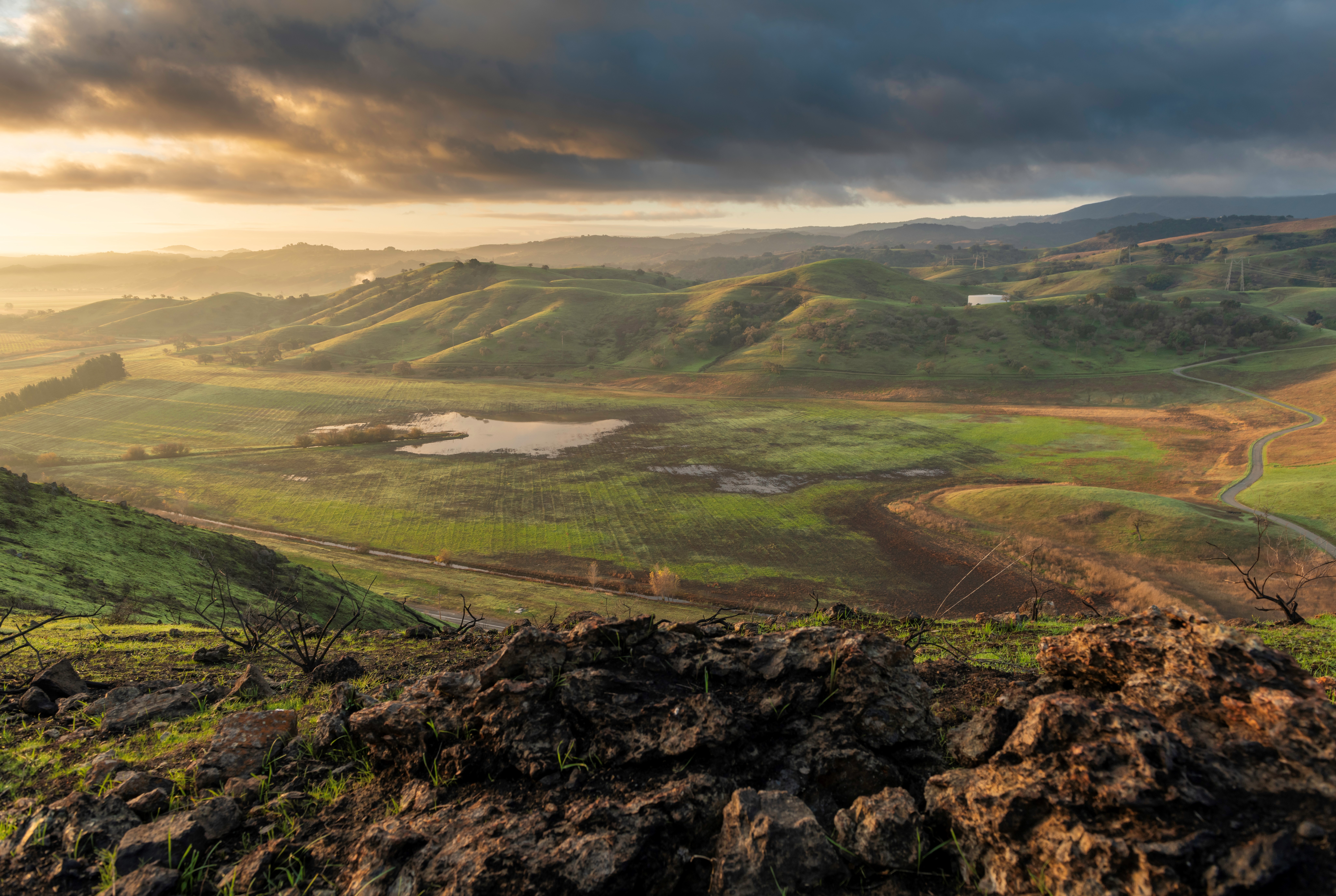
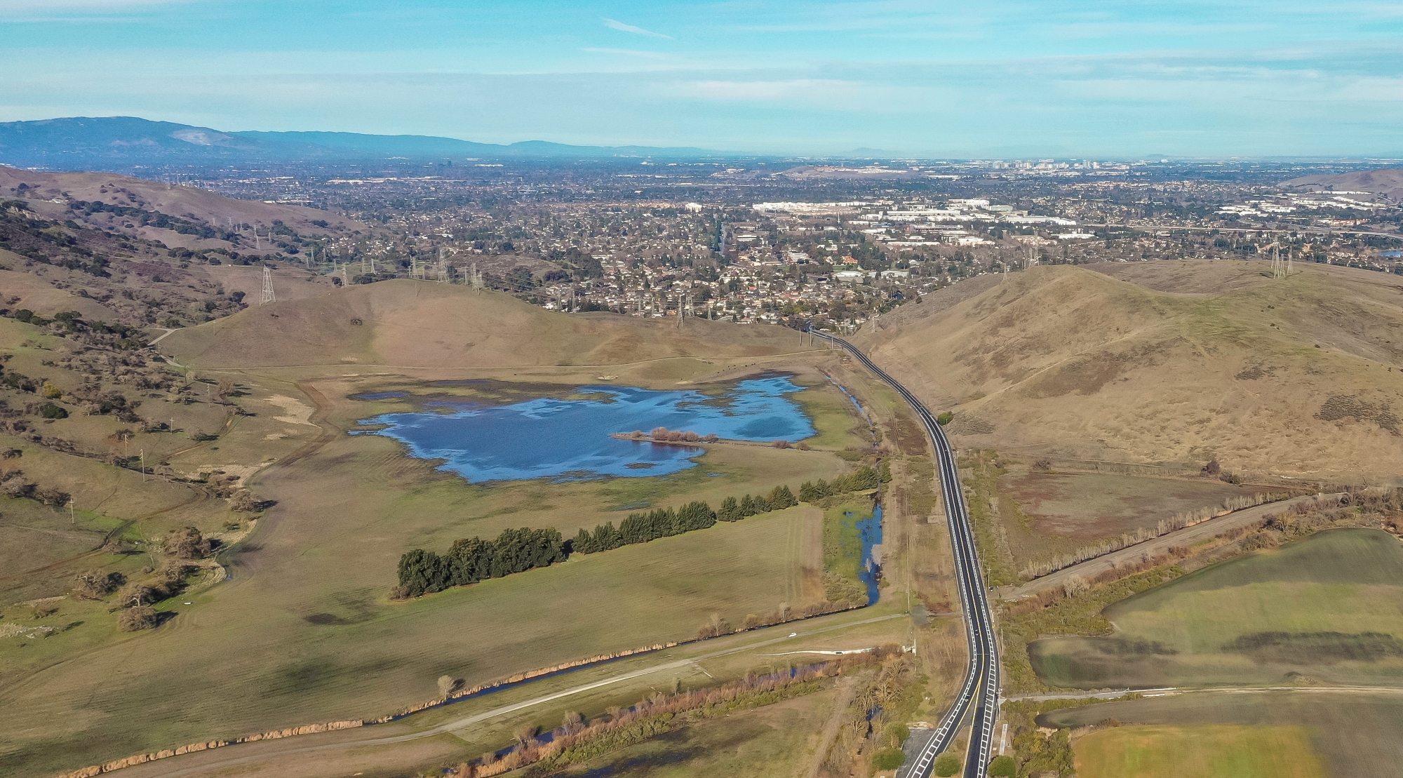
Coyote Valley is a rural and natural area located at the southern edge of San Jose and is one of the last remaining undeveloped valley floors in the region. Approximately seven miles long and two miles wide, it is defined by the Diablo Range to the east and the Santa Cruz Mountains to the west. The valley is remarkable for its role connecting the ecosystems of the Santa Cruz Mountains with the rest of California, as well as its scenic beauty, rich biodiversity, prime farmland, and unique water resources. The Santa Clara Valley Open Space Authority (Authority) and its partners have made protection of Coyote Valley a top priority, and in recent years approximately 1,500 acres of valley-floor land have been permanently protected.
ABOUT THE MASTER PLAN
The Coyote Valley Conservation Areas Master Plan (CVCAMP) will create a roadmap for implementing wildlife linkages, restoring water resources and habitat, supporting climate-smart agriculture, and providing equitable public access on Coyote Valley’s protected lands. The CVCAMP is managed by Authority in close partnership with the Peninsula Open Space Trust (POST) and the City of San Jose and will be created via an integrated, science-based planning process shaped by robust and inclusive stakeholder and community engagement.
COYOTE VALLEY’S WATER RESOURCES
A key focus element of the CVCAMP will be restoration of the historic Laguna Seca wetlands—the largest freshwater marsh in the region—and rehabilitation of a heavily modified creek system in the Fisher Creek floodplain. Restoration of these water resources will entail retirement of constructed channels, levees, and an earthen dam, and restoring natural landscape processes that will help rebuild the landscape’s capacity to buffer surrounding and downstream areas from increasingly unpredictable flood and stormwater events resulting from climate change. Floodplain restoration will also result in increased climate resilience for the region, enhanced habitat for wildlife, and a suite of other co-benefits like flood-managed aquifer recharge and carbon sequestration.
PROJECT TEAM, SCHEDULE, & FUNDING
In late 2021, the Authority hired a team of technical experts led by the firm SWCA Environmental Consulting & Engineering, Inc. to work on the CVCAMP. The Authority anticipates a three-to-five-year integrated planning effort. The CVCAMP will identify early implementation projects to be constructed within the next five to ten years, as well as develop a larger programmatic vision with a 20-to-30-year time horizon. Planning work is funded by the Authority and POST with generous support from partners, including the California Wildlife Conservation Board, and from the County of Santa Clara Parks & Recreation Department.
Email hidden; Javascript is required.
Copyright 2022-Present, Flood-MAR and Contributing Authors.


