SGMA Data Viewer
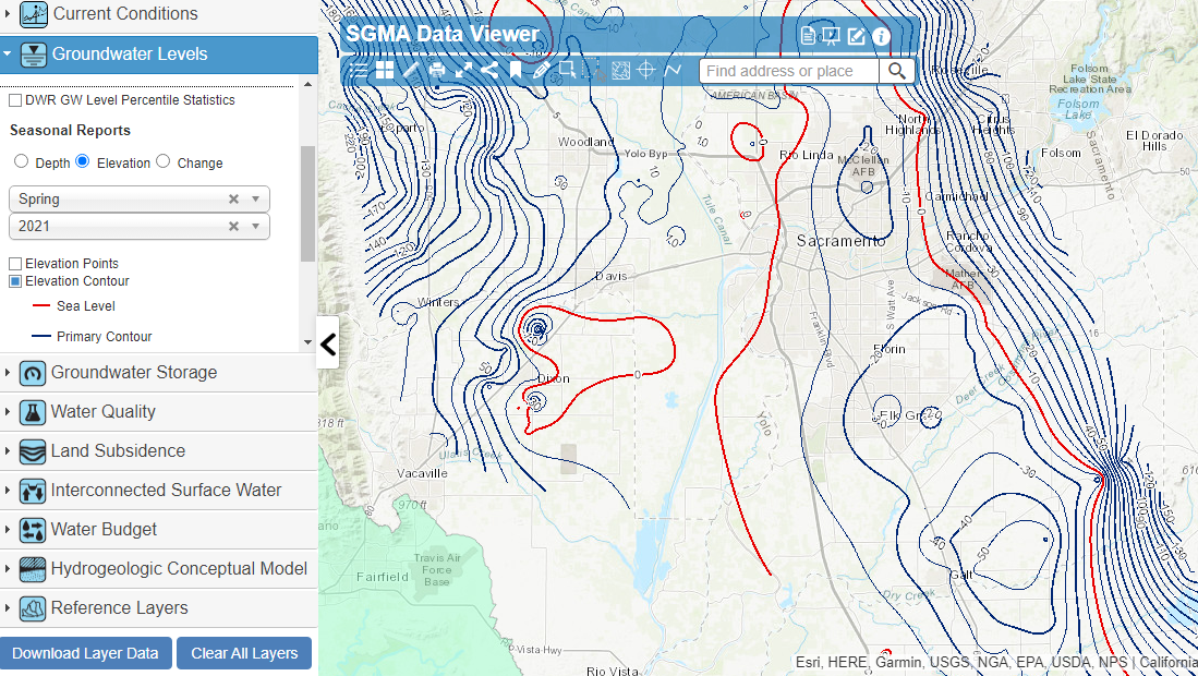
As part of DWR’s technical assistance to Groundwater Sustainability Agencies (GSAs), other water managers, and the public, DWR has developed the SGMA Data Viewer. The SGMA Data Viewer provides access to groundwater-related datasets that are organized by the requirements of SGMA and the Groundwater Sustainability Plan (GSP) regulations for the purposes of supporting GSP development and implementation.
Currently, regional and statewide groundwater information is publicly available, however this information is collected and disseminated through a variety of portals and applications. The SGMA Data Viewer provides centralized data access that will improve coordination across the State and help GSAs meet the requirements of SGMA and the GSP regulations.
This site includes historical and current data on:
Groundwater levels
Groundwater storage
Water quality
Land subsidence
Interconnected surface water
Water budgets
Hydrogeological conceptual models
Reference layers
Topic Area(s):
- Local, State, and Federal Policies and Legal Considerations
- People and Water
- Soils, Geology, and Aquifer Characterization
- Tool and Application Development
- Water Quality